Technology - Airborne LiDAR Principles and Results
|
Airborne LiDAR Principles and Results
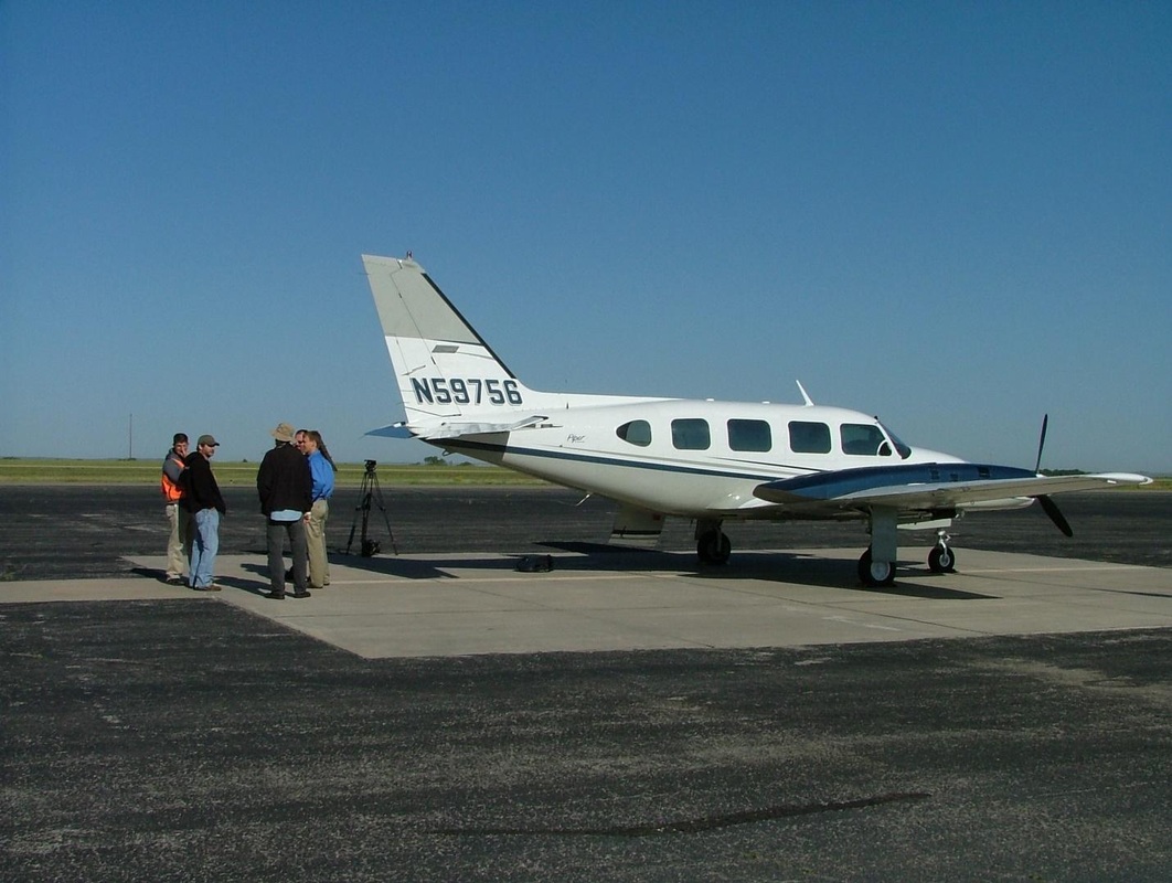
Airborne LiDAR, or light detection and ranging, measures the height of the ground surface and any features (i.e. trees, buildings) that may be on it and provides high definition and accurate models of the landscape to a resolution of 1 m to 0.5 m in archaeological applications. LiDAR uses a pulsed laser beam that scans from side to side as a plane flies at a low altitude over the survey area. 20,000 to 100,000 points per second build the ground model. In post-processing the first returns can be removed from the data providing a ‘bare earth’ model (or Digital Terrain Model, DTM) that accurately represents the ground surface. http://www.pbs.org/time-team/experience-archaeology/why-lidar/ http://ngm.nationalgeographic.com/2015/10/lost-city/lidar-graphic |
|