VES has experience working with archaeological contract and research investigations around the world. Project management and collaboration with local archaeologists, as well as technical expertise in remote sensing, geophysical surveys, 3D laser scanning, and GIS are offered through VES.
Current Projects
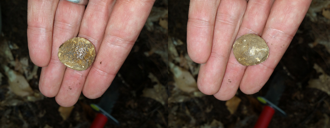
Parker's Revenge Archaeological Project - mapping one of the first battles of the American Revolution
Historical Ellice Schoolhouse Investigation - public outreach and community based restoration of the first schoolhouse of Millis, MA, listed on the National Register of Historical Places
Historical Ellice Schoolhouse Investigation - public outreach and community based restoration of the first schoolhouse of Millis, MA, listed on the National Register of Historical Places
Academic
VES can help integrate advanced survey and data integration methods into new and ongoing research, the classroom, and as part of archaeological field schools. Some examples include:
- Development of methods for advanced site mapping and visualization into project Scope of Work, assistance with relevant grant identification and submission,
- Course curriculum development & guest lecturing,
- Development and integration of advanced site mapping and visualization materials and hands-on experience for new and on-going archaeological field school programs
Heritage Management
Would you like to use advanced site and landscape mapping and visualization methods in your research, contract, or project?
VES can help facilitate the entire scope of work for integration of geophysical surveys, remote sensing, GIS, terrestrial and airborne laser scanning, and outreach materials for what you need. We will work with you on defining the advanced mapping and visualization methods that will help achieve your project goals. As part of this service, VES can help develop strategic approaches for funding as well as work to help instruct and integrate students and public volunteers into different phases of your project.
VES can help facilitate the entire scope of work for integration of geophysical surveys, remote sensing, GIS, terrestrial and airborne laser scanning, and outreach materials for what you need. We will work with you on defining the advanced mapping and visualization methods that will help achieve your project goals. As part of this service, VES can help develop strategic approaches for funding as well as work to help instruct and integrate students and public volunteers into different phases of your project.
Battlefield Archaeology
|
VES can provide project management and training for an integrated approach to Battlefield Archaeology. The American Battlefield Preservation Program (NPS) defines a strategic approach to examining historic Battlefields through KOCOA - this refers to five categories of topographic, landscape and cultural features of significance within a battlefield: Key Terrain (K), Observation and Fields of Fire (O), Concealment and Cover (C), Obstacles (O), and Avenues of Approach (A). Research design and project management combine a diverse sent of data for GIS enabled analytical methods to identify, map and simulate strategic military tactical movements to interpret the action and tell the story of a battle.
|
VES uses an integrated approach for historic landscape reconstruction and strategic military analyses that includes:
- Research of existing historic and contemporary documentation relating to the area of interest’s landscape and its occupants
- Historical and spatial landscape analysis through GIS
- recreate the historic 1775 landscape,
- organization and analysis of project spatial data such as historic and contemporary maps, airborne and terrestrial LiDAR, existing landscape features, archaeological information, and potential military tactics
- recreate the historic 1775 landscape,
- Site control survey
- Site surface feature mapping
- 3D laser scanning of the battlefield area to generate a high resolution 3D terrain model for site and battle analysis
- Targeted geophysical surveys to identify and map historic landscape features (structures, landscape features, modern impact)
- Limited excavation, auguring, and/or soil coring (ground truthing) of geophysical survey anomalies to confirm identification of feature(s).
- Metallic surveys to locate, recover, and map battle related artifacts.
- Terrain and battle analysis utilizing KOCOA.
CRM
- Research / CRM project development incorporating geophysical surveys, 3D laser scanning & GIS
- Request for Proposal (RFP) development & review of submitted proposals
- Research / CRM project field work & data management
- Archaeological field school program development & teaching: Geophysical survey, 3D laser scanning & GIS
- Undergraduate & graduate level curriculum development & teaching
- Primary / secondary school curriculum development & teaching
- Professional development workshop development & teaching
- Public outreach, data dissemination & visualization program development & implementation
- Consulting for grant search, content development & submission
- Training in field data collection, processing, & GIS integration for geophysical survey methods